Latest News
- Four years after Indigenous woman dies in Niagara Hospital, family still waiting for coroner's investigation
- Lawyer: British Columbia RCMP officer should be fired or resign immediately
- B.C. government looks to offer loan guarantees to property owners in Cowichan Aboriginal title area
- Uber driver's account in Toronto suddenly deactivated; only source of income cut off after 'duplicate account' claim
- TDSB education chief fired by provincial supervisor; sweeping changes at Canada's largest education board
Latest Ads
-
Jasmine Jewel
Call

-
Omidan group
Call

-
Amir Madanpour
Call

-
Dimo studio
Call

-
Yorkacademy
Call

-
Maryambagheri
Call

-
Shishlix Restaurant
Call


 273 View
 257 View
 222 View
 381 View
 597 View
 200 View
 256 View
 215 View
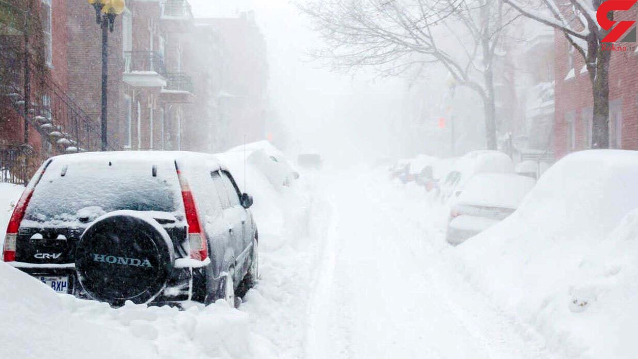
By midweek, wintry air will arrive in northern and central Ontario
It is predicted that a midweek low-pressure system will pass through the Great Lakes region, bringing snow, freezing rain, and sleet to Northern Ontario, while heavy rain is expected for the South.
While the storm's track may change with weather patterns, according to Instant Weather Ontario's forecast, it appears that wintry weather will pass from Lake Huron and Georgian Bay. This could lead to heavy snowfall in Northeastern Ontario and freezing rain in central and eastern regions.
Environment Canada forecasts cloudy weather with a maximum temperature of 2 degrees Celsius for Thursday in Barry, with a 60% chance of rain or snow and a minimum temperature of zero degrees during the night.
In the Instant Weather Ontario statement, it is mentioned, "We anticipate the worst weather conditions on Thursday night, which are likely to disrupt the Friday morning commute, including the potential cancellation of school buses."
Suggested Content
Latest Blog


Login first to rate.
Express your opinion
Login first to submit a comment.
No comments yet.