Latest News
- Four years after Indigenous woman dies in Niagara Hospital, family still waiting for coroner's investigation
- Lawyer: British Columbia RCMP officer should be fired or resign immediately
- B.C. government looks to offer loan guarantees to property owners in Cowichan Aboriginal title area
- Uber driver's account in Toronto suddenly deactivated; only source of income cut off after 'duplicate account' claim
- TDSB education chief fired by provincial supervisor; sweeping changes at Canada's largest education board
Latest Ads
-
Jasmine Jewel
Call

-
Omidan group
Call

-
Amir Madanpour
Call

-
Dimo studio
Call

-
Yorkacademy
Call

-
Maryambagheri
Call

-
Shishlix Restaurant
Call


 362 View
 222 View
 298 View
 198 View
 614 View
 172 View
 247 View
 1828 View
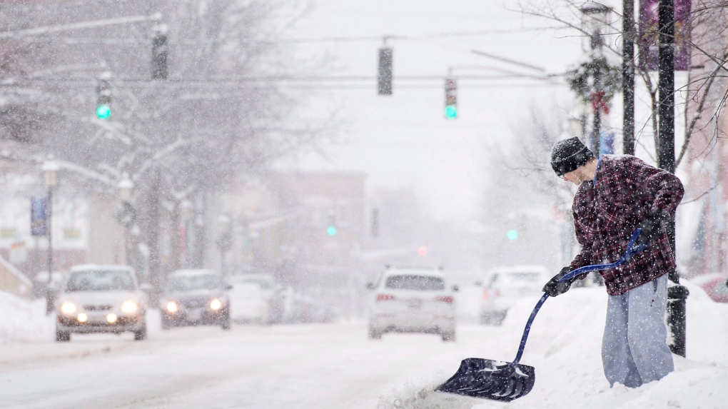
Toronto weather forecast this week
Toronto is finally breaking free from the long cold spell, but as the weather warms up, we'll see a few rounds of snow this week. According to meteorologists, the first round of snow will arrive Monday afternoon and more are expected throughout Tuesday. It is expected that light snow will start on Monday at around 3:00 PM and continue until 9:00 PM.
Today, Monday, the temperature will warm up to a maximum of minus one degree Celsius, but with the wind chill, it will feel around minus 7 degrees. Monday will be the last day of cold wind this week.
On Tuesday, snow will begin around 7 a.m., but will change to rain in some areas despite milder weather. On Tuesday, Toronto will see 3 to 7 centimeters of snow and a maximum temperature of 0 degrees Celsius.
On Wednesday, we will have rain at some times with a maximum temperature of about 3 degrees Celsius, and on the rest of the week, the weather will be warmer, and on Thursday and Friday, the temperature will reach a maximum of 5 degrees Celsius per day.
news source
Suggested Content
Latest Blog


Login first to rate.
Express your opinion
Login first to submit a comment.
No comments yet.