Latest News
- Four years after Indigenous woman dies in Niagara Hospital, family still waiting for coroner's investigation
- Lawyer: British Columbia RCMP officer should be fired or resign immediately
- B.C. government looks to offer loan guarantees to property owners in Cowichan Aboriginal title area
- Uber driver's account in Toronto suddenly deactivated; only source of income cut off after 'duplicate account' claim
- TDSB education chief fired by provincial supervisor; sweeping changes at Canada's largest education board
Latest Ads
-
Jasmine Jewel
Call

-
Omidan group
Call

-
Amir Madanpour
Call

-
Dimo studio
Call

-
Yorkacademy
Call

-
Maryambagheri
Call

-
Shishlix Restaurant
Call


 188 View
 333 View
 473 View
 273 View
 162 View
 343 View
 390 View
 221 View
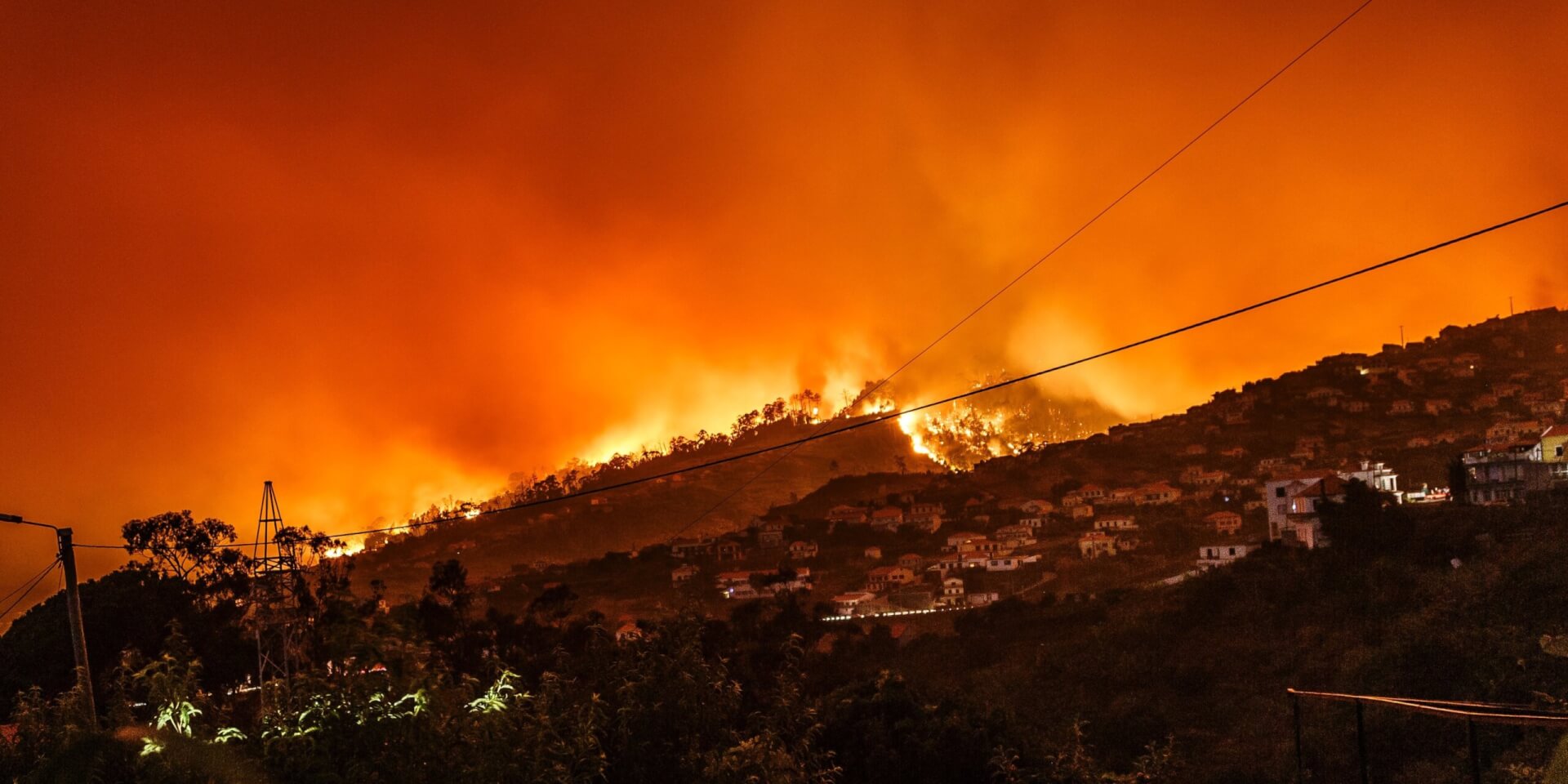
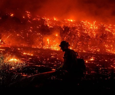
Research underway aims to make wildfire evacuations smoother
Charlie Kesslar vividly remembers the day he was forced to leave Drayton Valley, Alta., six months ago because of a wildfire. On the evening of May 4, the town was put under an evacuation order. Kesslar and his wife packed up their belongings, piled into their motorhome, and tried to make their way out of town.
"It was really difficult because there was so much traffic," Kesslar said. What should have been about a 25-minute drive out of town to a nearby hamlet ended up taking close to four hours, arriving at 3:30 a.m. "It was scary not knowing what was going to happen," he said.
Kesslar was one of tens of thousands of Canadians who had to flee their communities this past spring and summer in the worst wildfire season the country has seen in a century.
As of November 2, according to the Canadian Interagency Forest Fire Centre, more than 18 million hectares has been burned — six times more than the 10-year average. Now, researchers are working on ways to make the evacuation process smoother. The trio is looking at five communities — three in B.C. (Quesnel, Salmon Arm, and Nelson) and two in Alberta (Whitecourt and Canmore) — and creating evacuation simulation models based on each community's wildfire exposure, human behavior, and traffic simulation.
Wong's focus will be on human behavior. He is sending out surveys to residents in all five communities to better understand how and what decisions are made by evacuees.
"Such as, will I evacuate or will I stay? But then there's a whole host of other key decisions that are made after that that involve our transportation system," he said. "That includes the mode of transportation that we use, the route, departure time, where people decide to go, and the host communities that might be involved as part of that."
He said the information collected can help figure out whether certain groups need more resources to evacuate, need different methods of communications to encourage them to evacuate, or to use certain modes of transportation to leave a community.
"If you have a community, for example, with really limited roads out and … one of those escape roads happens to be a key pathway for a fire to move into the community, then you can imagine a scenario where you've got a fire moving into town, it's going to block one of the roads out.… It's basically going to create a bottleneck," Beverly said.
The data collected will help create wildfire evacuation models, showing how residents might get out of a community, to inform evacuation planning and infrastructure.
"The biggest change that we hope to make in this is informing evacuation plans. A lot of communities, either because of their size or their lack of time to be able to do it, don't have evacuation plans specifically for wildfires," Wong said.
The project will also look at how the built infrastructure and transportation system could change to help wildfire evacuations and other disasters.
Suggested Content
Latest Blog


Login first to rate.
Express your opinion
Login first to submit a comment.
No comments yet.